News Highlight
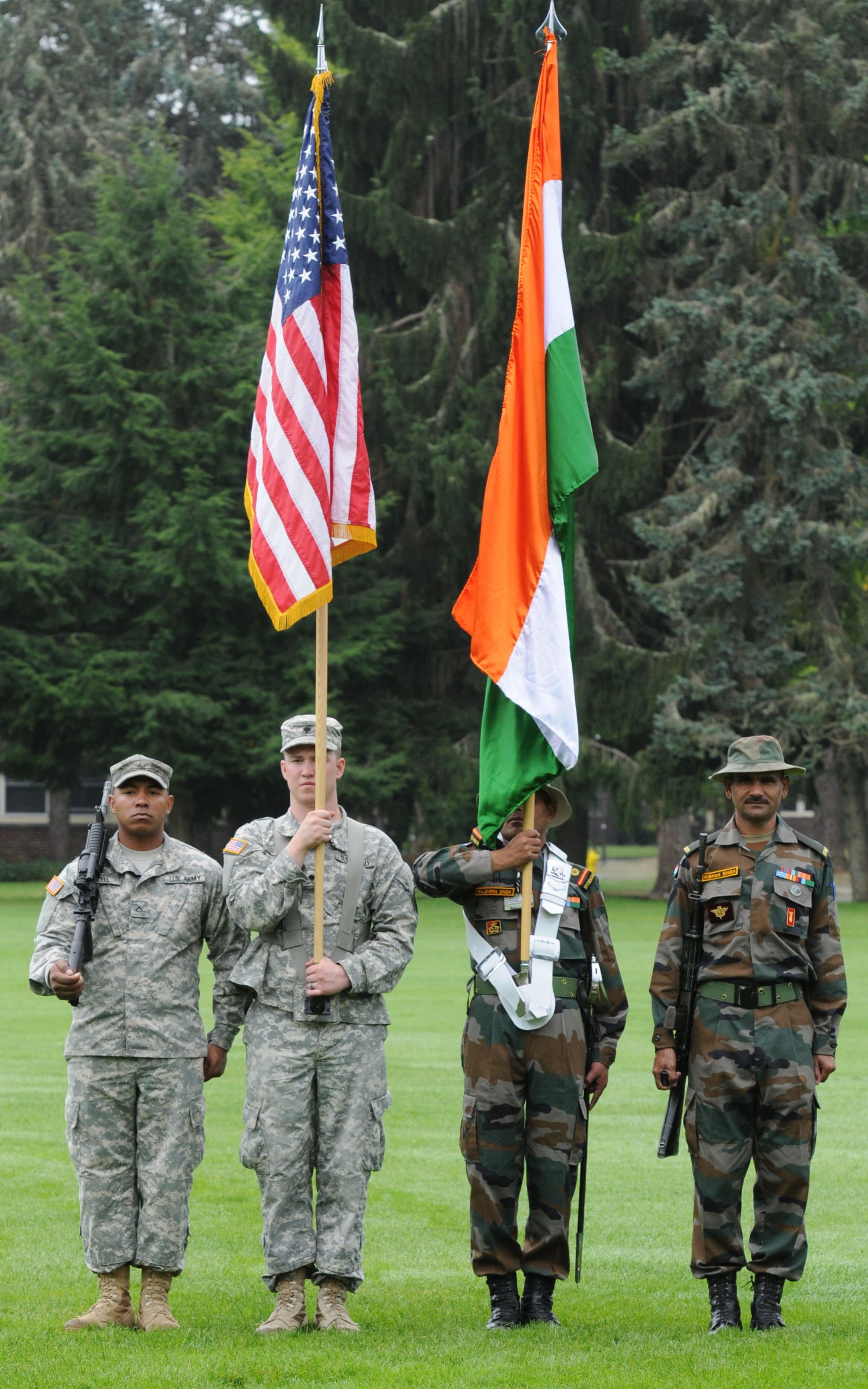
China protests against India-U.S.A. exercises (Yudh Abhyas), which are set to take place in the Uttarakhand high-altitude region less than 100 km from the Line of Actual Control (LAC).
Key Takeaway
- The upcoming 15th edition of the “Yudh Abhyas” joint exercise is expected to take place next month.
Yudh Abhyas
- Yudh Abhyas is a bilateral joint military exercise between India and the US.
- The exercise was started in 2004 under the US Army Pacific Partnership Program.
- The exercise is hosted alternately between both countries.
- The exercise aims at enhancing understanding, cooperation and interoperability between two Armies.
- Other Exercises between India and the US:
- Exercise Tiger Triumph
- Exercise Vajra Prahar
- Cope India
- Malabar Exercise
- Red Flag
Timeline of India-China border disputes since 1947
- 1947: China constructed a 1,200-km long road connecting Xinjiang and western Tibet. 179 km of the stretch ran south of the Johnson Line through the Aksai Chin region, which India claims as part of the union territory of Ladakh.
- 1960: Officials from India and China held discussions to settle the boundary dispute, based on an agreement between the then Prime Minister Jawaharlal Nehru and his Chinese counterpart Zhou Enlai.
- 1962: The boundary dispute escalated into the Sino-Indian War.
- 1975: China condemns the merger of Sikkim with India.
- 1976: India and China agreed to resume appointing diplomats to the other nation after 15 years.
- 1986-87: Chinese troops in Arunachal Pradesh are met by the Indian Army’s “Operation Falcon.”
- 1988: India and China agreed to set up a joint working group on the boundary issues.
- 1993: Agreement signed on Maintenance of Peace and Tranquillity along the Line of Actual Control, thus recognising the LAC.
- 1996: India and China signed an agreement on confidence-building measures along the LAC.
- 1999: China built a 5 km track up to Pangong Tso’s southern bank amid the Kargil conflict with Pakistan.
- 2000: China built permanent roads and bunkers inside the Indian part of the LAC in Ladakh’s Aksai Chin area.
- 2013: Chinese troops intrude into the Depsang Valley in Ladakh. In October, the two sides signed the Border Defence Cooperation Agreement.
- 2020: Violent escalations occur in Ladakh’s Galwan Valley amid senior military-level talks.
Line of Actual Control
- The LAC is the demarcation that separates Indian-controlled territory from Chinese-controlled territory.
- India considers the LAC to be 3,488 km long, while the Chinese consider it only around 2,000 km.
- It is divided into three sectors:
- The eastern sector-which spans Arunachal Pradesh and Sikkim
- The middle sector in Uttarakhand and Himachal Pradesh
- Western sector-in Ladakh.
Three disputed sectors of the Sino-Indian border
- Western Sector:
- The main concern of the dispute in the Western Sector is related to the sovereignty of the Aksai Chin region.
- India argues that Aksai Chin is part of the Indian territory of Ladakh, but on the other side, China argues that Aksai Chin is part of the Xinjiang province of China.
- The historical root cause of the dispute can be traced back to the period of British rule.
- During the British period, two boundary commissions were appointed; one marked Johnson’s line of 1865, which shows the Aksai Chin region of Ladakh is part of India, but McDonald’s line marked in 1893 shows Aksai Chin is part of Xinjiang province of China.
- India considers Johnson’s line as the correct demarcation, but China upholds McDonald’s, which led to the dispute.
- The Line of Actual Control (LAC) is the border between Indian Ladakh and Aksai Chin. It runs parallel to the Chinese claim line of Aksai Chin.
- Middle Sector:
- In the middle sector, India and China share around 625 kilometres of the border, which runs along Indian states like Uttarakhand and Himachal, which terminate at Nepal, where a trijunction of Lipulekh is located.
- This is the only area where the two countries have reached a consensus.
- Eastern Sector:
- In the Eastern Sector, India shares a border of 1140 km, and boundaries run along the Indian states like Arunachal Pradesh.
- The border is demarcated as the McMahon line that extends from the eastern limit of Bhutan to a point near the Talu Pass at the trijunction of Tibet, India, and Myanmar.
- China claims the majority of Arunachal Pradesh’s territory is part of Southern Tibet.
Content Source: The Hindu


