Key Takeaways
- A recent audit report of the Comptroller and Auditor General (CAG) has pointed out illegal construction and violations of environmental norms in two Ramsar sites in West Bengal, the East Kolkata Wetlands (EKW) and the Sunderbans.
- The EKW, a unique peri-urban ecosystem that lies on the eastern fringes of Kolkata, covers an area of about 12,500 hectares. It is spread over 37 mouzas of the State’s South and North 24 Parganas districts.
- The CAG report pointed out that failure to delineate boundaries of the EKW and uncontrolled transfer of land resulted in its change of character and lack of effective action by the EKWMA (East Kolkata Wetland Management Authority)
- The CAG report has highlighted serious violations of CRZ norms in the Sundarbans particularly for an ecotourism project at Jharkhali. “The West Bengal government had undertaken (October 2015) a project of an ecotourism hub after clearing 69 acres of mangrove. Even the river channel, breeding place of crocodiles, was claimed by the project,” the report said.
About Sundarbans
- The Sundarbans National Park is a national park, tiger reserve and biosphere reserve in West Bengal.
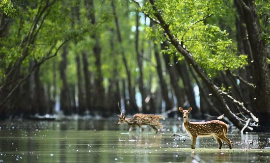
- It is part of the Sundarbans on the Ganges Delta and adjacent to the Sundarban Reserve Forest in Bangladesh. The delta is densely covered by mangrove forests, and is one of the largest reserves for the Bengal tiger.
- Protection Status given to Sunderbans in chronological orders
- 1973 – Core area of Sundarban Tiger Reserve
- 1977 – wildlife sanctuary
- 1984 – national park
- 1987 – UNESCO World Heritage Site
- 1989 – Considered as a World Network of Biosphere Reserve (Man and Biosphere Reserve) from 1989.
- 2019 -designated as a Ramsar site
About coastal regulation zones
- The Environment Ministry came up with the Coastal Regulation Zone rules (CRZ rules) in February 1991, under the Environment Protection Act in 1986.
- In 2018, the government issued the Coastal Regulation Zone Notification 2018 to remove restrictions on building, streamlining the clearance process and increasing tourism in the coastal areas.
- As per the CRZ rules, the coastal areas of creeks, seas, bays, rivers and backwaters that get affected by tides up to 500 metres from the high tide line (HTL) and the land area between the low tide line (LTL) and the high tide line are declared as coastal regulation zone (CRZ).
- salient features of the CRZ Notification, 2018:
- Allowing Floor Space Index (FSI) as per current norms in CRZ II (urban) areas.
- Two separate categories stipulated for the CRZ III (Rural) areas, allowing greater opportunity for development.
- Promotion of tourism infrastructure.
- Streamlining the procedure for CRZ clearances.
- A No-Development Zone (NDZ) of 20 metres stipulated for all islands.
- Ecologically sensitive areas to be given special importance, with specific guidelines related to their conservation and management plans.
- To address pollution, treatment facilities have been made as permissible activities in CRZ I B areas.
- The notification accords necessary dispensation for defence and strategic projects
- Coastal regulation zone: Classification
- Importance of CRZ
- The CRZ rules and regulations have been formulated with the objective of protecting coastal ecosystems, by regulating human and industrial activities near the coastline.
- They also aim to improve the lives of coastal communities such as fishing communities, develop measures to deal with the effects of climate change and high-intensity cyclones and ensure sustainable development of the coastal regions.
- The development of coastal communities is among the four pillars of the ambitious Sagarmala project undertaken by the government.
Content Source: The Hindu


